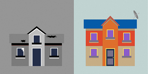
People Explore: How many burglaries in your neighbourhood?

Explore which neighbourhoods in New Zealand are the most frequent targets for burglars.
Explore which neighbourhoods in New Zealand are the most frequent targets for burglars.


Last updated: 17/03/2016

Recommended stories
Herald Insights interactive shows the number of burglaries at street level in New Zealand.
The interactive map shows each reported burglary that occurred in the eighteen month period between July 2014 and December 2015.
Readers can explore the interactive to see how their neighbourhood compares with the rest of the country.
This data is being released for the first time by NZ police, giving a breakdown to meshblock level, the smallest geographic unit by which government agencies aggregate data.
Readers can see explore patterns for all the cities in New Zealand.
For example, in Hamilton, the area around Waikato University had 312 burglaries which is significantly high compared to the neighbouring Hillcrest West which had 126 burglaries.
This data breaks down further to show that within the area around university, it is the area between which Beaumont and Hogan Street which has most number of burglaries compared with the rest, at 38.
Herald Insights map allows readers to see patterns in their own town, city and neighbourhood.
It also identifies problem areas in different cities.
At a territorial authority level, Auckland which had 34,555 burglaries is followed by Christchurch and Hamilton, which had 8,824 and 5,232 burglaries.
Wellington despite having higher population is at number seven in the list with 2,402 burglaries, following Rotorua, Whangarei and Hastings district.